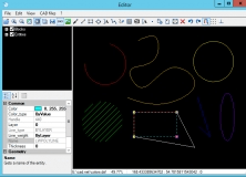
GroundCAD is a 2D CAD free software for the land surveying and civil engineering. The program has a simple graphical interface to ensure the speed, simplicity and the efficiency. GroundCAD supports many standard formats like: Ascii file(txt/csv), Autodesk dxf(ascii R12), Leica(gsi 8/16), Sokkia(sdr33), Topcon(fc4/gts7/xml/landxml), Google(kml), and more.
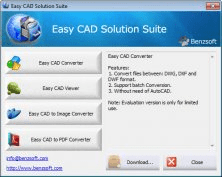
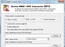
Solution to view, print, review, edit, modify, protect, convert DWG DXF DWF drawings.

It is an open source ground control station which accepts NMEA, SiRF and others.


Comments (1)